Explore Our Services

Tree Inventory Service
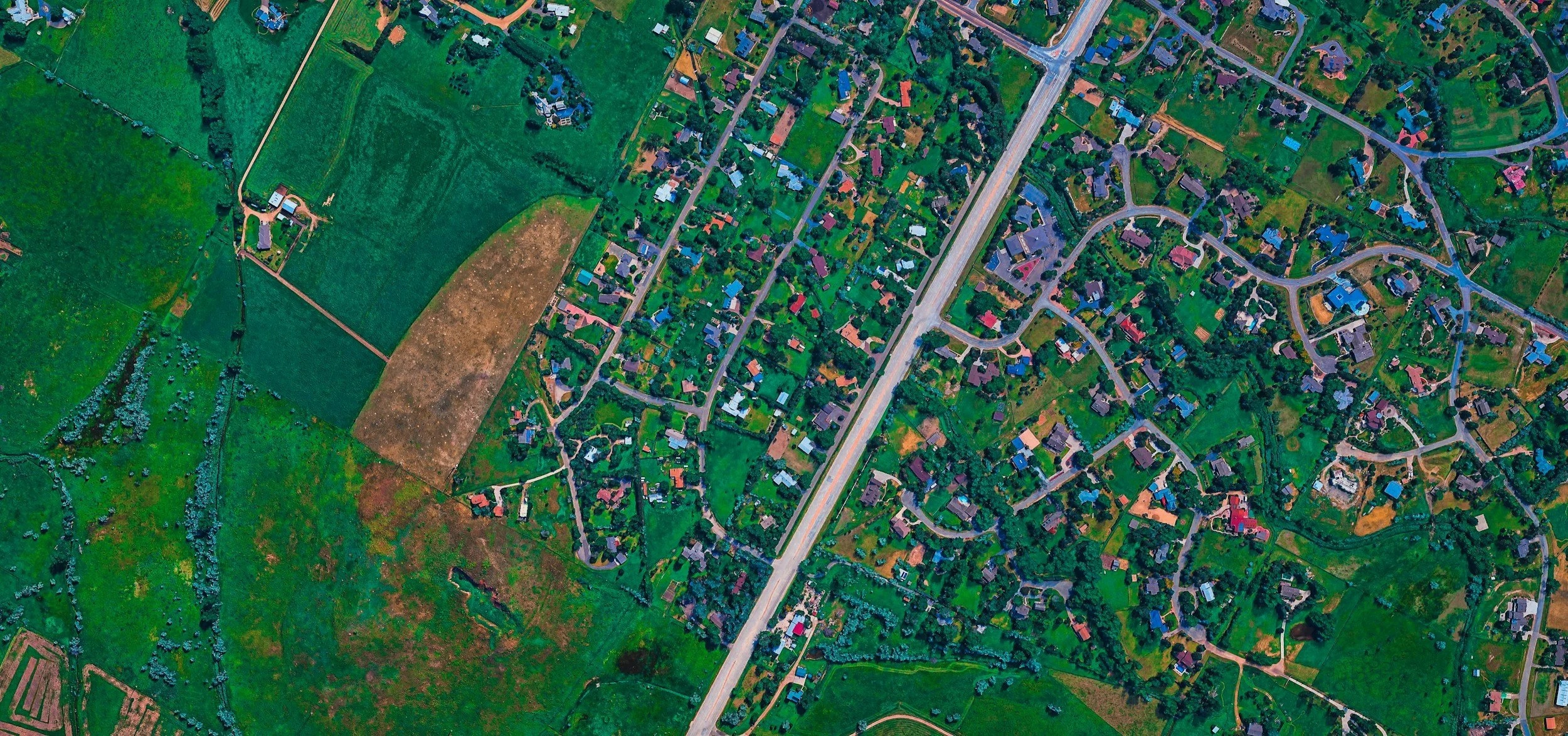
Aerial view of a suburban neighborhood with houses, roads, and green spaces.
Our comprehensive tree inventory services provide property owners, municipalities, and land managers with detailed, actionable data on their tree populations. Each inventory is conducted in accordance with the International Society of Arboriculture (ISA) Best Management Practices (BMP) standards, ensuring that all assessments meet the highest level of professional rigor and consistency.

Our inventories typically include species identification, diameter at breast height (DBH), crown condition, structural integrity, risk rating, maintenance recommendations, and GPS-mapped locations for each tree. 

Whether you're managing a university campus, a commercial development site, or a municipal streetscape, a well-executed tree inventory serves as the foundation for informed decision-making regarding budgeting, maintenance scheduling, risk mitigation, and long-term urban forest management. We deliver our findings in clear, accessible formats, including GIS-compatible databases and summary reports, so your team can put the data to work immediately.
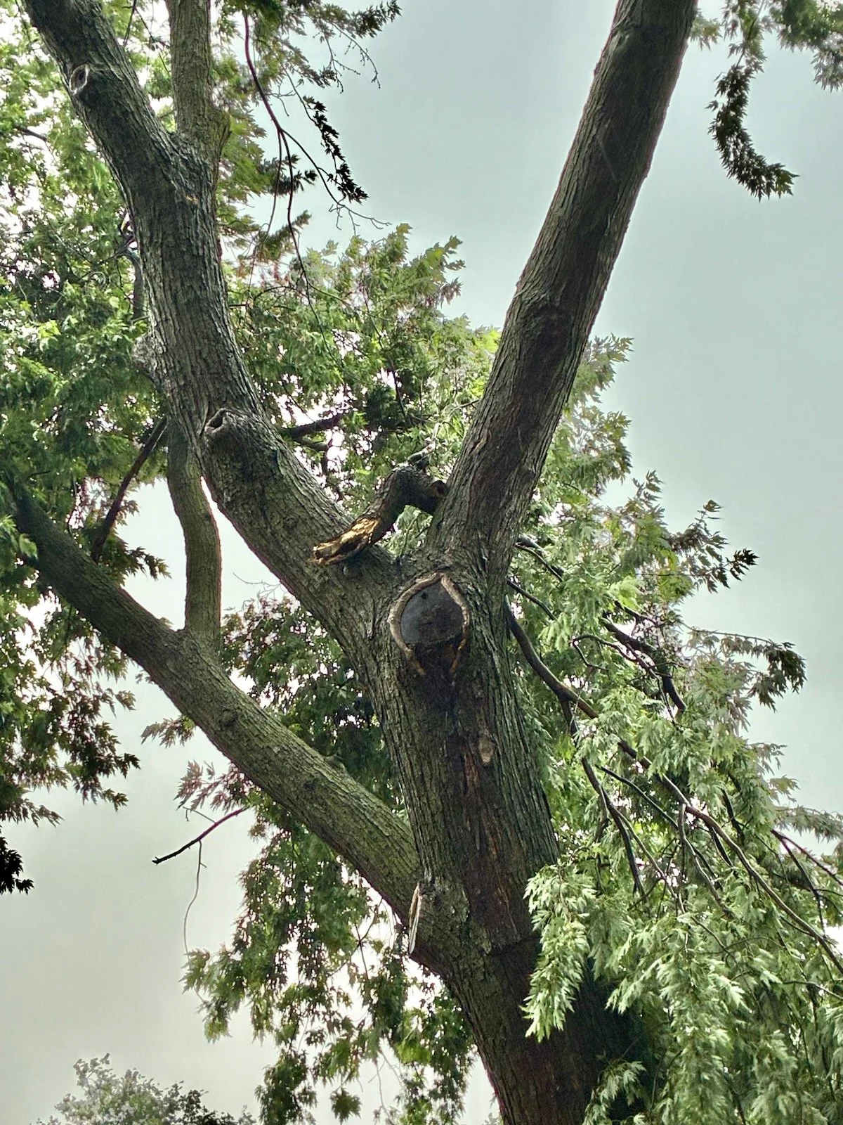
A tall tree with textured bark and green leaves, viewed from below against a cloudy sky.

Tree Inspections and Reports

Our tree inspections give commercial property managers, HOA boards, and property owners of all sizes clear, detailed documentation of their tree population's condition.

Each assessment is conducted in accordance with ANSI A300 standards for tree care, ensuring a professional and consistent level of rigor in every report.

We work with a wide range of properties across the metro area, and no job is too small. Each property presents its own profile of needs, so our assessments and reports are tailored accordingly — whether that means a general health assessment, pruning recommendations, or ongoing maintenance notes.

Tree Risk Assessment
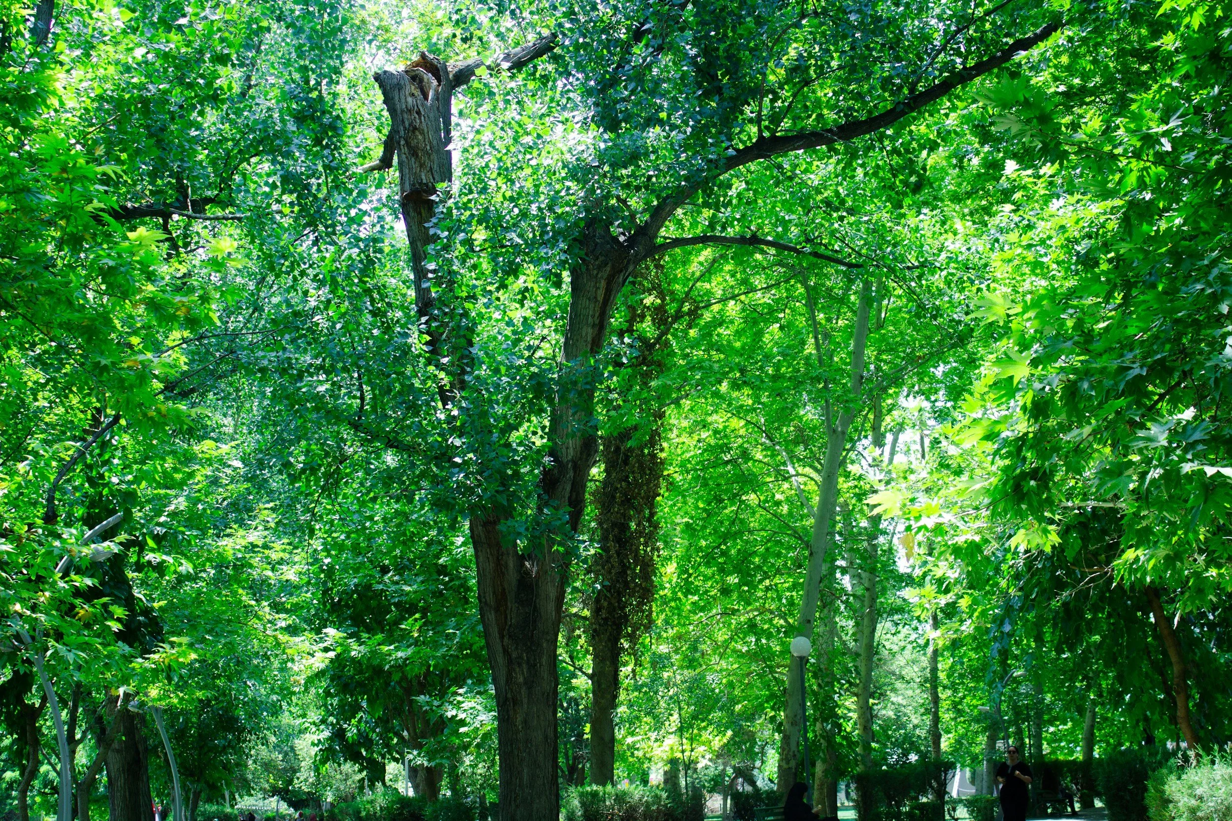

A lush green park with tall trees and people walking in the background.
Our tree risk assessment services help property owners, municipalities, and facility managers identify and manage potential hazards posed by trees on their properties. All assessments are performed in accordance with the International Society of Arboriculture (ISA) Best Management Practices (BMP) for the Tree Risk Assessment Qualification (TRAQ), utilizing the standardized methodology recognized industry-wide for evaluating the likelihood of tree failure and its potential consequences. 

The Tree Risk Assessment qualification teaches practitioners examine key factors including structural defects, root stability, crown architecture, site conditions, species-specific failure patterns, and proximity to targets such as buildings, walkways, and utility infrastructure. Each tree is assigned a risk rating along with clear, prioritized mitigation recommendations.

By proactively identifying and addressing elevated risk, our clients reduce liability exposure, protect people and property, and make sound, defensible management decisions grounded in science and professional standards.

Tree Plans


An aerial view of a construction site in a green neighborhood. There is a partially built structure with a concrete foundation and wooden framework. Construction equipment and vehicles are visible around the site, with trees surrounding the area.
A tree plan is a customized roadmap for the trees on your property, built around their species, age, condition, and the goals you have for your space. Whether you're maintaining a mature canopy, preparing for construction near established trees, or designing a new planting from the ground up, a well-crafted plan turns guesswork into a clear, prioritized course of action.

Each project starts by walking your property and assessing each tree's structure, health, and risk profile. From there, we develop a plan that may include pruning schedules, soil and root care, pest and disease management, removal of hazardous limbs or trees, and recommendations for new plantings suited to your site. Every plan is tailored to your property and written in plain language, so you understand not just what needs to be done, but why and when.

The result is a strategy that protects your investment, keeps your trees safe and thriving for years to come, and helps you make confident, informed decisions. Trees are long-term assets, and the right plan ensures they're cared for with that long view in mind. Reach out today to schedule a consultation and get a tree plan built specifically for your property.

Tree Permit Applications


Tree trunk with a 'No Trespassing' sign attached, in a wooded area with fall foliage in the background.
Across much of New York and New Jersey, removing, pruning, or even working near certain trees requires a permit from the local municipality. Many towns, townships, and counties in the region have adopted tree protection ordinances, and the rules vary widely from one community to the next. 

Excelsior Urban Forestry can help with the tree permit application process from start to finish. That includes identifying which local ordinances apply to a property, assessing and documenting the trees in question, preparing the required reports and site plans, and submitting a complete, accurate application to the appropriate board or department. Where ordinances call for it, the firm provides the professional justification that gives an application the best chance of approval.

Whether the client is a homeowner planning a removal, a developer preparing a site, or a property manager maintaining a portfolio, Excelsior Urban Forestry makes the permitting process straightforward and stress-free. Contact the team today to find out how to get a tree permit application moving.

Drone Mapping


A white drone flying outdoors against a bright blue sky with some white clouds, with trees and suburban houses in the background.
Our drone mapping services deliver high-resolution orthomosaic imagery that provides your organization with an accurate, up-to-date aerial base map far superior to publicly available satellite imagery. Using professional-grade unmanned aerial systems (UAS) and photogrammetric processing, we capture and stitch hundreds of geotagged images into a single, seamless, orthorectified mosaic that can be directly integrated into your existing GIS platform as a custom base layer.

Note: The services and deliverables provided constitute aerial imagery acquisition, GIS data collection, and arboricultural consulting services. They do not constitute, and are not intended to substitute for, professional land surveying, photogrammetric surveying, engineering, architectural, or legal services. EUF is not a licensed land surveyor or licensed photogrammetric surveyor in any jurisdiction, and no representation of survey-grade accuracy is made. Deliverables are provided for asset management and visualization purposes only.